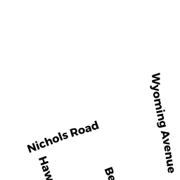
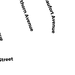
259 HILLCREST RD
Owner Information
CERVAS, JOSHUA M 7
259 HILLCREST RD
NEEDHAM, MA 02492

Property Details
259 HILLCREST RD is classified as a Single Family Residential (Cp).
The primary structure on this property was built in 1941. There are 1,674ft2 of built area within this property. There is 2,226ft2 of residential/living space within this property. This property is listed as having 7 rooms.
259 HILLCREST RD is valued at $930,300. The land is valued at $538,400 and the structures are valued at $391,900.
This property is in Zone SRB. Confirm with local Zoning Board authorities to ensure there are no overlays or other easements on this property.
The most recent deed for 259 HILLCREST RD is recorded at the local registrar in Book 26301, Page 395. 259 HILLCREST RD was last sold on Friday, January 30, 2009 for $660,000.
Assessment data from fiscal year 2022.
Flood Data
According to the FEMA National Flood Hazard Layer, this property does not appear to be in a flood zone. It may also be in an area not yet reviewed. Nonetheless, confirm this information prior to taking any action.
To view the flood hazards around this property, create a FEMA "Firmette" Map of the area around 259 HILLCREST RD.
Broadband Internet Providers
| Provider | Type | Bandwidth (mbps) | |
|---|---|---|---|
| Verizon New England Inc. | Fiber | 940 | 880 |
| Viasat Inc | Satellite | 100 | 3 |
| GCI Communication Corp. | Satellite | 0 | 0 |
| HughesNet | Satellite | 25 | 3 |
| VSAT Systems, LLC. | Satellite | 2 | 1 |
| RCN | Cable | 1000 | 20 |
| RCN | Cable | 500 | 20 |
| Comcast | Cable | 1000 | 35 |
Broadband service provider data from December 2020.
Adjacent Properties
- 267 HILLCREST RD
Single Family Residential owned by BRASSARD. RAYMOND J. & - 253 HILLCREST RD
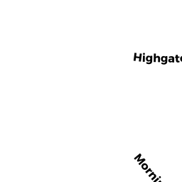
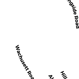
Single Family Residential owned by ROSENBERG, STEPHEN D. & FIORE, CAROLINE M. TRS - 6 MORNINGSIDE RD
Single Family Residential owned by KIRCHOFER, THOMAS & - 204 HIGHGATE ST
Single Family Residential owned by COHEN, LAWRENCE B. TR &